
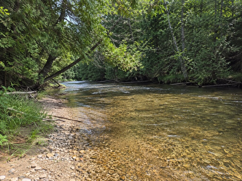
The Carp River at U.S. Forest Service Road 3458 is a precise, low-key trout access in Mackinac County north of Moran. The Michigan DNR’s Trout Trails record places it just downstream of the South Branch Carp River confluence, where colder South Branch water enters the main river.
Why This Reach Stands Out
Michigan DNR records identify brook trout and brown trout at this location and note that brown trout and steelhead are stocked in the Carp River while both also reproduce naturally. The DNR survey reported brook trout up to 11 inches and brown trout up to 15 inches. Those figures describe past sampling, not a promise of current catch size or abundance.
Overhanging trees can make casting difficult. A short rod and careful roll casts may be more practical than long backcasts, but anglers should match tackle and technique to current flow, regulations and their own experience.
Regulations: Check the Exact Water
At the time of the DNR Trout Trails record, the main Carp River at this access was classified as a Type 4 trout stream and the South Branch as Type 1. The confluence makes location awareness important because season, tackle, size and possession rules can differ between stream types. Before fishing, confirm the current year’s rules with the Michigan trout and salmon regulation maps and current Fishing Regulations. A valid Michigan fishing license is required unless an exemption applies.
Directions and Access
The official DNR route is specific: take M-123 north from Moran, turn west on Burma Road, then turn north on U.S. Forest Service Road 3458, also called Nogi A Road, and travel approximately 1.4 miles to the river. The access map below is centered at 46.08523, -84.97805.
This is a remote forest-road approach. Road surfaces and drainage can change after rain, snowmelt, timber work or maintenance. Do not block the road or bridge, avoid soft shoulders, and turn around if conditions exceed your vehicle or comfort level. Download directions before leaving reliable service.
What to Expect
- No developed amenities are documented in the DNR Trout Trails record; arrive self-sufficient and pack out all waste.
- Cold water, woody cover and uneven banks can make wading hazardous. Wear traction and a personal flotation device when conditions warrant.
- Check current stocking information separately; historic stocking or survey data does not guarantee present conditions.
- St. Ignace is the most practical regional supply and lodging hub. Current visitor information is available at stignace.com.
For the source location details, see the Michigan DNR’s Carp River at U.S. Forest Service 3458 Trout Trails record. The record is valuable for directions and fishery context, but the current regulation map should control every trip.


Leave a Reply