
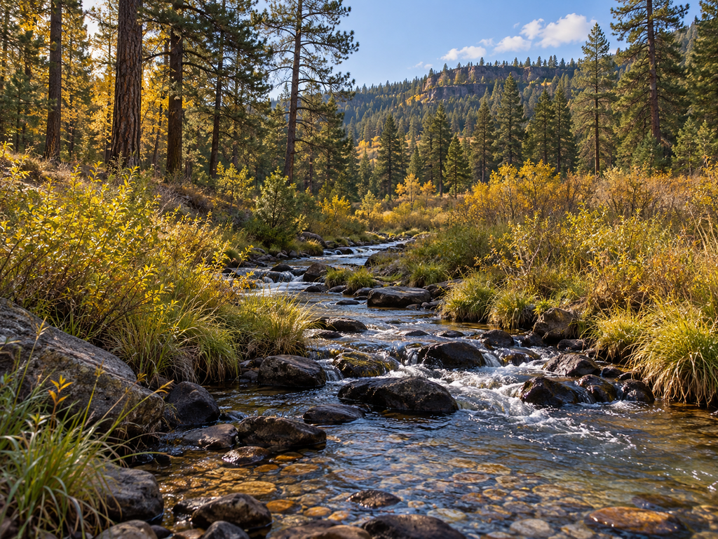

Canyon Creek is a small, cold-water trout stream below Arizona’s Mogollon Rim, but its rules change at a precise landmark. From O.W. Bridge downstream to the Fort Apache Indian Reservation boundary, anglers enter a catch-and-release section where only artificial flies or lures with single-pointed barbless hooks are legal. This guide focuses on that exact stretch, the rough-road approach, and the invasive-species steps that matter after fishing.
Canyon Creek at a glance
| Planning detail | What to know |
|---|---|
| Target section | O.W. Bridge downstream to the Fort Apache Indian Reservation boundary |
| Fishery | Cold-water rainbow and brown trout water; AZGFD classifies the lower reach as Blue Ribbon brown-trout water |
| Lower-section rule | Catch and release only for trout; artificial fly or lure; single-pointed barbless hook |
| Road approach | Dirt roads; the final five miles on Forest Road 33 are narrow, steep and winding |
| License | An Arizona fishing license is generally required for anglers age 10 and older |
| Biosecurity | New Zealand mudsnails occur in lower Canyon Creek; decontaminate gear before using it in another Arizona water |
Why O.W. Bridge is the key landmark
Arizona Game and Fish Department’s Fish & Boat AZ directory divides Canyon Creek into two named records. The upper record, from the headwaters to O.W. Bridge, is stocked water managed for rainbow trout and Blue Ribbon brown trout. The lower record, from O.W. Bridge to the reservation boundary, is special-regulation water. Treat the bridge as the point where you must know which rules apply.
The creek continues onto White Mountain Apache tribal land. The map and directions in this article do not authorize entry onto tribal or private property. Stay on roads and land open to the public, respect posted boundaries, and obtain any separate permission or permit required beyond the national-forest reach.
Special fishing rules below O.W. Bridge
- Release every trout immediately.
- Use only artificial flies or artificial lures.
- Use a single-pointed barbless hook.
These restrictions appear in the Arizona Game and Fish Department’s 2025–26 Fishing Regulations, amended January 30, 2026. Pinch the barb flat before reaching the water and carry hemostats or small pliers for a quick release. Wet your hands before touching a trout, keep the fish in the water, and skip fishing when warm or unusually low flows make safe release doubtful.
The upper reach above O.W. Bridge is not covered by that lower-section special rule, but statewide limits and any posted orders still apply. Check the current regulations and Fish & Boat AZ record immediately before the trip rather than carrying one rule from one segment into the other.
Access and road reality
The most clearly verified public destination on this drainage is Canyon Creek Fish Hatchery, which is why the map below points to its visitor access rather than pretending to identify an unverified roadside pullout. Arizona Game and Fish Department places the hatchery about 45 miles east of Payson on State Route 260: turn south on Young Road/Forest Road 288 for about three miles, then east on Forest Road 33 for about five miles.
According to the official hatchery page, the roads south of Highway 260 are dirt. Forest Road 33 is narrow, steep and winding, with extra caution needed in winter. Surface conditions can change after storms, snow or maintenance. No destination-specific closure was confirmed in the official sources checked for this guide; verify current Tonto National Forest alerts, road conditions and any recreation-pass requirement before leaving pavement.
Do not assume every shoulder, ranch entrance or creek crossing is a legal parking place. Use signed public areas, keep gates and travel lanes clear, and turn around if road or weather conditions exceed your vehicle or experience.
New Zealand mudsnails: required decontamination
AZGFD has confirmed New Zealand mudsnails in Canyon Creek, including the lower reach. After fishing, remove mud and plant material, then clean, drain, dry and decontaminate waders, boots and other wet gear before using them at another Arizona water. The agency’s current mudsnail guidance recommends starting upstream and moving downstream, avoiding felt-bottom footwear, and using dedicated or fully decontaminated gear.
AZGFD lists several compliant methods, including freezing suitable gear overnight, exposing it to 140°F water for at least 10 minutes, or drying it completely for seven consecutive days from May through October and 18 days from November through April. Follow the agency’s full directions for chemical treatments and disposal; never rinse contaminated material into another drainage.
Hatchery visit, facilities and accessibility
Canyon Creek Fish Hatchery is owned by the U.S. Forest Service and operated by AZGFD. Its indoor visitor center is open daily from 8 a.m. to 3 p.m., except Thanksgiving and Christmas, according to the current agency page. The fish-rearing areas are closed to the public for biosecurity. AZGFD describes the visitor center as accessible, but an accessible fishing platform or accessible creek route was not verified; contact the hatchery before traveling if a step-free fishing experience is essential.
Best timing and practical safety
Spring through fall usually offers the simplest road access, while winter can bring snow, ice and difficult driving on Forest Road 33. Summer monsoon storms can raise water or damage roads quickly. Check the weather for the Rim Country, avoid the creek during flooding, and carry more water, food and warm layers than a short map distance might suggest.
- Tell someone your route and return time; mobile service can be unreliable.
- Watch for loose rock, slick banks, rattlesnakes and falling limbs.
- Do not wade water that is swift, opaque or rising.
- Carry a valid Arizona fishing license and a current copy of the regulations.
- Pack out line, leader, hooks and every piece of trash.
Nearby fishing alternatives
If Canyon Creek’s road is unsuitable, compare two other Mogollon Rim options: the easier facilities described in the Woods Canyon Lake boat-ramp and fishing-access guide, or the more remote approach in the Bear Canyon Lake hike-in fishing-access guide. For shore fishing close to camping, the Spillway Campground guide covers another cluster option.
Official trip-planning sources
- AZGFD Fish & Boat AZ for current water records and map context
- 2025–26 Arizona Fishing Regulations for the binding section rule
- Canyon Creek Fish Hatchery for verified road directions, hours and public-area limits
- AZGFD New Zealand mudsnail guidance for required decontamination methods
This article and its images were created with AI assistance and reviewed against the official sources linked above. The landscape image is representative, not a documentary photograph of the exact creek section.


Leave a Reply