
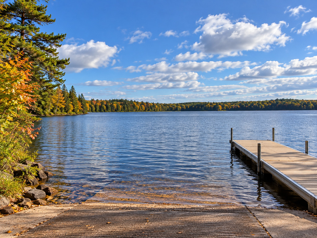
North Twin Lake gives boaters two very different public launch choices: the larger Millerville Lane ramp near Phelps and the quieter Lakota Road ramp on the west side of the lake. This guide compares the official access records so you can choose the better fit before towing to the 2,871-acre Vilas County lake.
Quick choice: which North Twin Lake launch should you use?
- Choose Millerville Lane when trailer parking, a vault restroom, lighting and the easiest first-time setup matter most.
- Choose Lakota Road when you are approaching from Highway K or the lake’s west side and can work with a smaller trailer-parking area.
- Check the signs at the ramp before launching. Wisconsin DNR warns that local boating restrictions can change before online records are updated.
North Twin Lake at a glance
Wisconsin DNR lists Twin Lakes (North), WBIC 1623800, as a drainage lake with 2,871 acres, a maximum depth of 60 feet and a mean depth of 28 feet. Its mapped center is 46.05333, -89.13137. The agency reports common musky, panfish and walleye populations, with largemouth and smallmouth bass also present. The lake has two public boat landings.
Millerville Lane Access: the higher-capacity option
Official coordinates: 46.05739966, -89.10150294
Approach: Millerville Lane off Wisconsin Highway 17, Town of Phelps
Manager: Town of Phelps
The DNR access record describes a two-lane concrete-panel ramp that reaches water deeper than three feet, with a boarding dock and a six-percent slope. It lists 21–25 vehicle-and-trailer spaces, a vault restroom and lighting. Potable water, a fish-cleaning area and a marine pumpout are not listed.
This is the practical default for a first visit or a busy fishing morning because the recorded trailer capacity is much larger than at Lakota Road. The same DNR record notes designated accessible parking and an ADA-accessible route to the boarding dock, based on a September 2012 assessment. Conditions, dock installation and accessible routes can change seasonally, so confirm current conditions with the Town of Phelps if those features are essential to your trip.
Lakota Road Access: a smaller west-side ramp
Official coordinates: 46.05459710, -89.16236550
Approach: End of Lakota Road off Highway K, Town of Conover
Manager: Town of Conover
The Lakota Road record describes a two-lane concrete ramp, water deeper than three feet at the launch, a boarding dock and a seven-percent slope. It lists 6–10 vehicle-and-trailer spaces plus 6–10 vehicle-only spaces. The record does not list a restroom, lighting, potable water, fish cleaning or a pumpout.
DNR notes a blacktop approach to the concrete launch, designated accessible parking and an ADA-accessible dock route based on a September 2012 assessment. The smaller trailer lot makes this access most appealing when the location suits your route; have Millerville Lane saved as a backup if the lot is full.
Launch comparison
| Feature | Millerville Lane | Lakota Road |
|---|---|---|
| Launch lanes | 2 | 2 |
| Ramp surface | Concrete panels | Concrete |
| Trailer spaces | 21–25 | 6–10 |
| Vehicle-only spaces | 0 listed | 6–10 |
| Boarding dock | Yes | Yes |
| Restroom | Vault | None listed |
| Lighting | Yes | No |
| Recorded accessible features | Designated parking and accessible dock route | Designated parking and accessible dock route |
Fishing and trip planning
North Twin’s size and mixed fish community make it useful for anglers who want room to explore rather than a tiny-lake outing. DNR lists musky, panfish and walleye as common, with both largemouth and smallmouth bass present. Bring a contour map or a reliable offline chart, especially if you plan to move well beyond the launch bay.
Regulations can vary by species and water. Review the current Wisconsin DNR fishing regulations for the 2026–2027 season before fishing. DNR also lists slow-no-wake hours and water-skiing restrictions among the local ordinance categories for the lake; the posted notice at the landing is the most current source for local rules.
Aquatic invasive species checklist
DNR records Chinese mystery snail, Eurasian water-milfoil and rusty crayfish in Twin Lakes (North). Before leaving the launch, inspect the boat, trailer and equipment; remove attached plants and animals; drain water from the boat, motor and gear; never move live fish away from the waterbody; and put unwanted bait in the trash. Review Wisconsin’s boat transportation and bait laws before moving to another lake.
Safety, seasons and accessibility
- Wear a properly fitted life jacket and check the weather before crossing open water.
- Expect boarding docks, lane edges and water depth to vary with season and lake level.
- Keep the rig staged until you reach the ramp so you do not block a lane.
- Use extra caution at dawn, dusk and during cold-water periods.
- If an accessible route or dock is essential, confirm its current condition with the managing town before departure.
Nearby Northwoods alternatives
For another multi-access comparison, see the Lac Vieux Desert access guide. Anglers looking for a deep, clear lake can compare the Black Oak Lake launch, while the Trout Lake launch guide covers three access choices.
Official sources
- Wisconsin DNR: Twin Lakes (North) overview
- Wisconsin DNR: lake facts and figures
- Wisconsin DNR: public boat landings
- Wisconsin DNR: Millerville Lane access record
- Wisconsin DNR: Lakota Road access record


Leave a Reply