
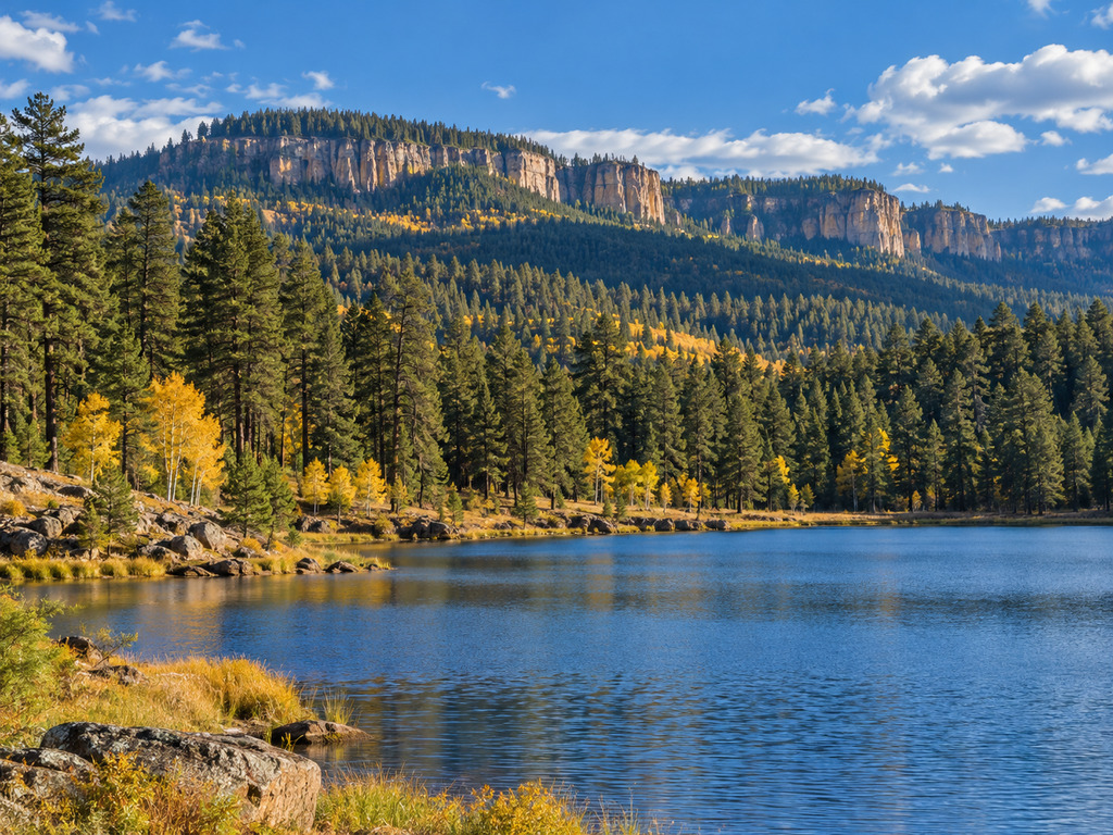

The Mogollon Rim’s lakes, trout streams, overlooks, and campgrounds are close enough to combine—but different enough that the right base and access plan matter. This planner connects 20 detailed guides so you can choose a drive-up lake, hike-in water, stream reach, accessible overlook, or campground without opening twenty tabs at the trailhead.
Start with the trip you actually want
| Trip priority | Best starting guides | Access reality |
|---|---|---|
| Easy boat launch and lake fishing | Woods Canyon Lake, Willow Springs Lake, C.C. Cragin Reservoir | Paved highway approaches; final roads, ramps, parking, and seasonal services vary |
| Quieter or more remote lake | Bear Canyon Lake, Knoll Lake, Black Canyon Lake | Expect hiking or longer forest-road travel; check road and weather conditions first |
| Stream fishing | Canyon Creek, Christopher Creek, Haigler Creek, East Verde River | Regulations, public-land boundaries, road surfaces, and water conditions differ by reach |
| Short scenic outing | Rim Lakes Vista Trail, General Crook Trail | Good choices when fishing conditions or campground plans change |
| Camp near the water | Mogollon, Aspen, Canyon Point, Sinkhole, or Rim campground | Developed services are seasonal; verify reservations and openings before departure |
Six lake guides, from drive-up ramps to hike-in water
- Woods Canyon Lake Boat Ramp and Fishing Access Guide — the most useful first read for a classic Rim Lakes Recreation Area day with developed access.
- Willow Springs Lake Boat Ramp and Fishing Access Guide — a practical Highway 260 option for boating and bank fishing.
- Bear Canyon Lake Hike-In Fishing Access Guide — choose this when a walk from the parking area is part of the plan.
- Knoll Lake Remote Road, Boating and Campground Guide — the long forest-road option that rewards careful fuel, weather, and road planning.
- C.C. Cragin (Blue Ridge) Reservoir Boat Ramp and Access Guide — a separate reservoir trip where the final gravel road and launch rules deserve attention.
- Black Canyon Lake Boat Ramp, Fishing and Seasonal Access Guide — a useful eastern Rim option with seasonal-access considerations.
Shore-fishing and day-use choices at Willow Springs and Woods Canyon lakes
Visitors who do not need a launch can narrow the Woods Canyon plan further. Sardine Point Day Use Area focuses on Willow Springs Lake shore access, while the Spillway Campground shore-fishing and day-use guide explains the Woods Canyon Lake side. Read the lake-wide guide first, then use these narrower pages to choose the exact stop.
Four stream reaches plus a hatchery stop
Stream trips require more precision than simply typing a creek name into navigation. Public access, private-property boundaries, special regulations, flows, and forest-road conditions can change from one reach to another.
- Canyon Creek at O.W. Bridge — a reach-specific guide built around the special-regulation water and bridge-area access.
- Christopher Creek roadside access — for a more direct roadside-style creek outing.
- Haigler Creek fishing and campground access — read the rough-road notes before committing a low-clearance vehicle.
- East Verde River at Washington Park — a distinct wild-trout reach with its own access and boundary considerations.
- Canyon Creek Fish Hatchery visitor guide — a useful educational stop, not a substitute for checking whether visitor access is currently available.
Two trail alternatives when fishing is not the whole day
The Rim Lakes Vista Trail guide covers the paved scenic option near the rim edge. The General Crook Trail at Black Canyon Rim adds a historic route and a different kind of forest outing. Both are useful backups when wind, storms, road conditions, or personal energy make a water day less appealing.
Five campgrounds for building a base
- Mogollon Campground — pine-loop camping near Woods Canyon Lake.
- Aspen Campground — a larger Woods Canyon Lake base with multiple loops.
- Canyon Point Campground — a developed base with electric-site and shower considerations near Willow Springs Lake.
- Sinkhole Campground — another practical Willow Springs Lake-area base.
- Rim Campground — parallel-site camping close to the rim and Woods Canyon Lake corridor.
A simple two-day planning pattern
Day one: Pick one developed lake and one short trail. Woods Canyon Lake plus Rim Lakes Vista Trail keeps the driving compact. Willow Springs Lake plus a campground check works well when you want to scout the next morning’s access.
Day two: Choose either one remote lake or one stream reach—not both—unless current road conditions and daylight leave a comfortable margin. Knoll Lake, Bear Canyon Lake, Haigler Creek, and the East Verde River each require a different kind of access decision.
Season, roads, fire, and fishing rules
- Forest status: Check current alerts with the Apache-Sitgreaves National Forests, Coconino National Forest, and Tonto National Forest. Seasonal closures, wildfire restrictions, storms, and road work can change access.
- Roads: A paved highway approach does not guarantee a paved final mile. The Forest Service recreation pages and Motor Vehicle Use Maps are the right last checks for numbered forest roads.
- Fishing: Review the current Arizona Game & Fish Department license and regulation page, including special-regulation waters. Do not transfer a rule from one creek reach or lake to another.
- Water and weather: High-country temperatures can fall quickly, thunderstorms can build fast, and water is cold even when the lower desert is hot. Carry layers, drinking water, and a plan to turn around.
- Boundaries: Respect gates, closures, signed private property, and hatchery or campground operating limits. A place appearing on a map is not blanket permission to cross every parcel.
Accessibility and facilities
Accessibility varies widely across these 20 stops. Developed ramps, paved viewpoints, campground restrooms, and designated parking can make some outings easier, while hike-in lakes, rough roads, uneven banks, and dispersed trail surfaces can be limiting. Use each destination guide for the verified facilities, then confirm current conditions with the managing agency. “Accessible” parking or a paved segment does not mean the entire shoreline, trail, or campsite is barrier-free.
Official planning sources
The Forest Service’s Apache-Sitgreaves recreation directory inventories campgrounds, boating sites, trailheads, fishing sites, and other facilities across the forest. The official Rim Lakes Recreation Area map is especially useful for understanding how Woods Canyon Lake, Willow Springs Lake, the visitor center, trails, and campgrounds relate. Pair those sources with the current Arizona fishing rules before departure.
Use this hub as a decision page
The best Mogollon Rim trip is not the one that checks the most boxes. It is the one whose road, walking distance, facilities, regulations, weather exposure, and daylight fit your group. Choose one primary destination, save one nearby alternative, download the relevant official map, and check alerts again on the morning you leave.
Planning more time outside? Visit the Outdoor Adventures shop.


Leave a Reply