
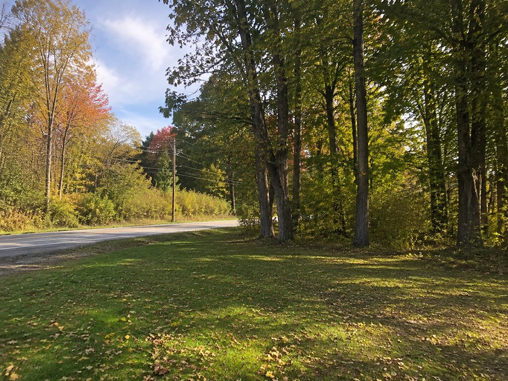
The Grand River Trail historical marker near Williamston commemorates an early travel corridor that later became a plank road. It is a roadside history stop—not a maintained hiking trail—and the marker’s reference to US-16 reflects the highway designation in use when the marker was erected.
From Indigenous trail to plank road
The route began as an Indigenous trail and was converted to a plank road in 1848. The marker also recalls surveyor John Mullett, explorer and mining pioneer John Forster, a toll gate, and the Red Bridge Post Office. Together, those details show how the corridor supported travel, surveying, settlement, and commerce in nineteenth-century Michigan.
Understanding the US-16 wording
The marker was dedicated in 1956, when this part of Grand River Avenue carried US-16. The roadside location is now signed as M-43, so modern visitors should navigate using M-43/Grand River Avenue rather than searching for an active US-16 route.
The inscription also reflects the period language used when the marker was created. Read it as an artifact of 1950s historical interpretation rather than a complete modern account of the corridor’s Indigenous history.
Planning a stop
Location: Red Cedar Roadside Park on Grand River Avenue (M-43), near Williamston, Michigan.
This is a brief roadside stop. Pull fully into the designated area, watch for traffic, and do not expect trail facilities. For information about Michigan’s marker program, visit the Michigan Historical Commission’s historical markers page.
For outdoor-inspired gear before your next trip, visit the Outdoor Adventures shop.


Leave a Reply