
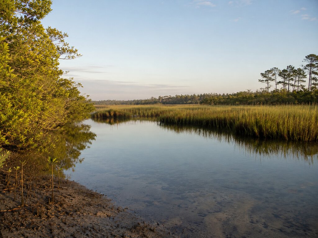
Charlotte Harbor Preserve State Park protects 45,507 acres and more than 100 miles of shoreline in Charlotte and Lee counties. Its mangroves, marshes, scrub and pine flatwoods make it an important coastal wilderness—and a destination that requires more preparation than a developed beach park.
Choosing an Access Point
The preserve has no single entrance that serves every activity. The official address is 12301 Burnt Store Road in Punta Gorda, while pedestrian access points and trailheads occur in several sections. The dedicated in-park paddlecraft launch is on Old Burnt Store Road in Cape Coral; county ramps also reach waters around the preserve.
For a defined land route, the North Cape Flats Trail begins near Northwest 40th Lane and Northwest 44th Place in Cape Coral. It is about a half-mile each way and reaches Charlotte Harbor’s shallow mangrove-fringed shoreline.
Primitive Conditions and Current Notice
The park is open from sunrise to sunset and currently charges no entrance fee. Backcountry areas have no drinking water or restrooms, insects can be intense, and seasonal flooding may make trails inaccessible. Call the park at 941-575-5816 for current trail conditions. As of August 22, 2026, the Eagle Point Bridge near the Charlotte Harbor Environmental Center remains closed for repairs, with alternate routes posted.
Paddling, Fishing and Wildlife
Much of the preserve is shallow water edged by mangroves, so paddling is often the best way to explore it. Fishing is available unless an area is posted closed, and a Florida license may be required. Wind, tides, heat and thunderstorms can rapidly change trip difficulty.
- Carry a current map, compass or offline navigation and more water than expected.
- Share a route and return time before entering remote sections.
- Wear a personal flotation device when paddling.
- Protect archaeological sites and do not enter posted restoration areas.
Use the official preserve page for current closures, the park map and contact information.


Leave a Reply